

Assess
Understand the land, objective, constraints and operating environment.
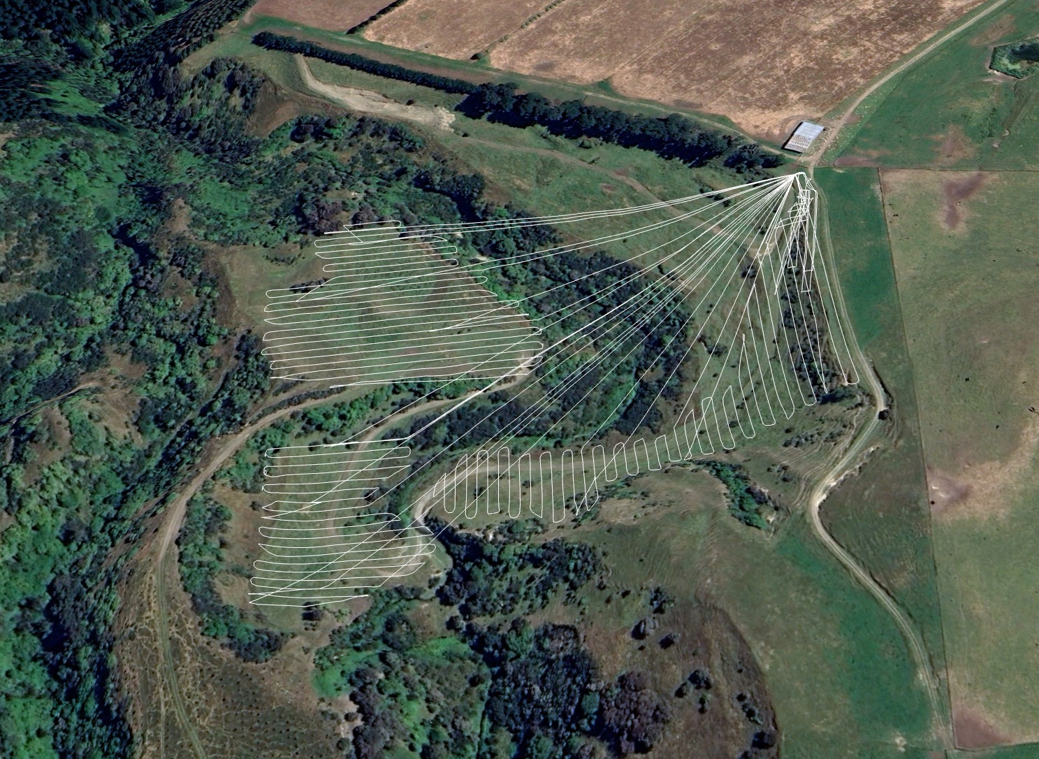
Survey and spatial intelligence
The objective
 01 / 03
Typical capability
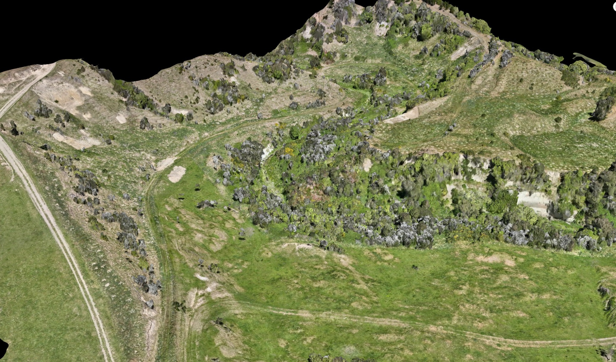
The result
Deliverables can be prepared for GIS, CAD and practical project workflows. Scope and accuracy requirements are agreed before capture so the output is fit for purpose.
How an operation moves
Understand the land, objective, constraints and operating environment.
Confirm the method, inputs, logistics and safe operating conditions.
Complete the operation with disciplined placement and field control.
Provide clear records and agreed outputs for the completed work.
Have land that
needs treating?